
V General Assembly Meeting
Online, September 2023

2nd Joint Collocation
Online, January 2023
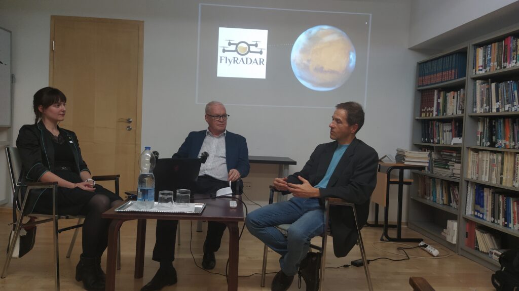
FlyRadar and Future of Mars Exploration
Budapest, October 2024
EPSC 2024 - Sessions and Splinter Meeting
Vienna, April 2023

IV General Assembly Meeting & Management Checkpoint
Online, January 2023

Mid Term Meeting
Pescara, June 2022

Multiplier Event - Settimana del Pianeta Terra
Pescara, October 2022
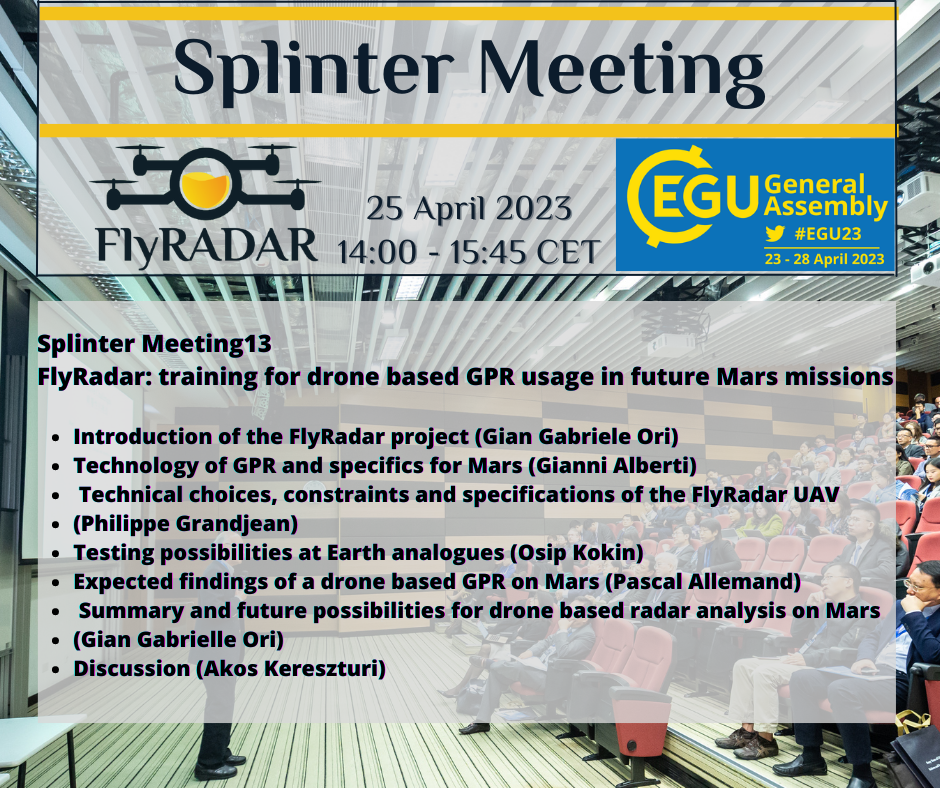
EGU 2023 - Splinter Meeting
Vienna, April 2023

Progress Meeting #1 and 1st Joint
Collocation and 3rd General Assembly
Online, November 2021

II General Assembly Meeting
Online, July 2021

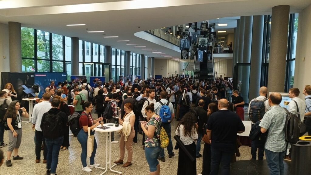
DroneShow Robotics 2024
Sao Paolo, Brazil 2024